- Home
- Survey
| Services
Engineering Survey & Digital Data Acquisition
Engineering surveys form the foundation for the planning, design and construction of projects across land and offshore environments. Accurate, reliable and repeatable data acquisition, supported by experienced engineering professionals, is essential for the successful execution of every project.
GeoMarine has been providing high-precision engineering survey, digital data acquisition and data processing services for over three decades. Our experienced team of professional engineers and survey specialists has undertaken surveys for a wide range of projects, including highways, railways, major infrastructure, power projects, coastal developments and offshore facilities.
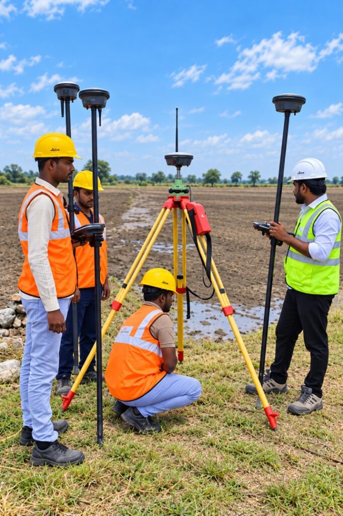
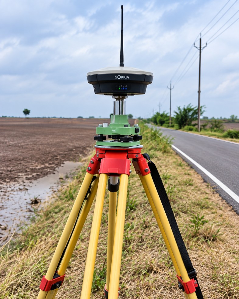
Our survey capabilities are supported by modern digital positioning and measurement systems, including:
- High-precision DGPS systems
- 1-second accuracy Total Stations
- Drones
These technologies enable efficient acquisition of accurate topographical, positional and elevation data for engineering design and construction applications.
The acquired field data is processed using state-of-the-art surveying, CAD, GIS and data-processing software, enabling us to deliver reliable digital survey outputs tailored to project requirements.